Click for full-size.
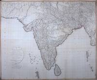
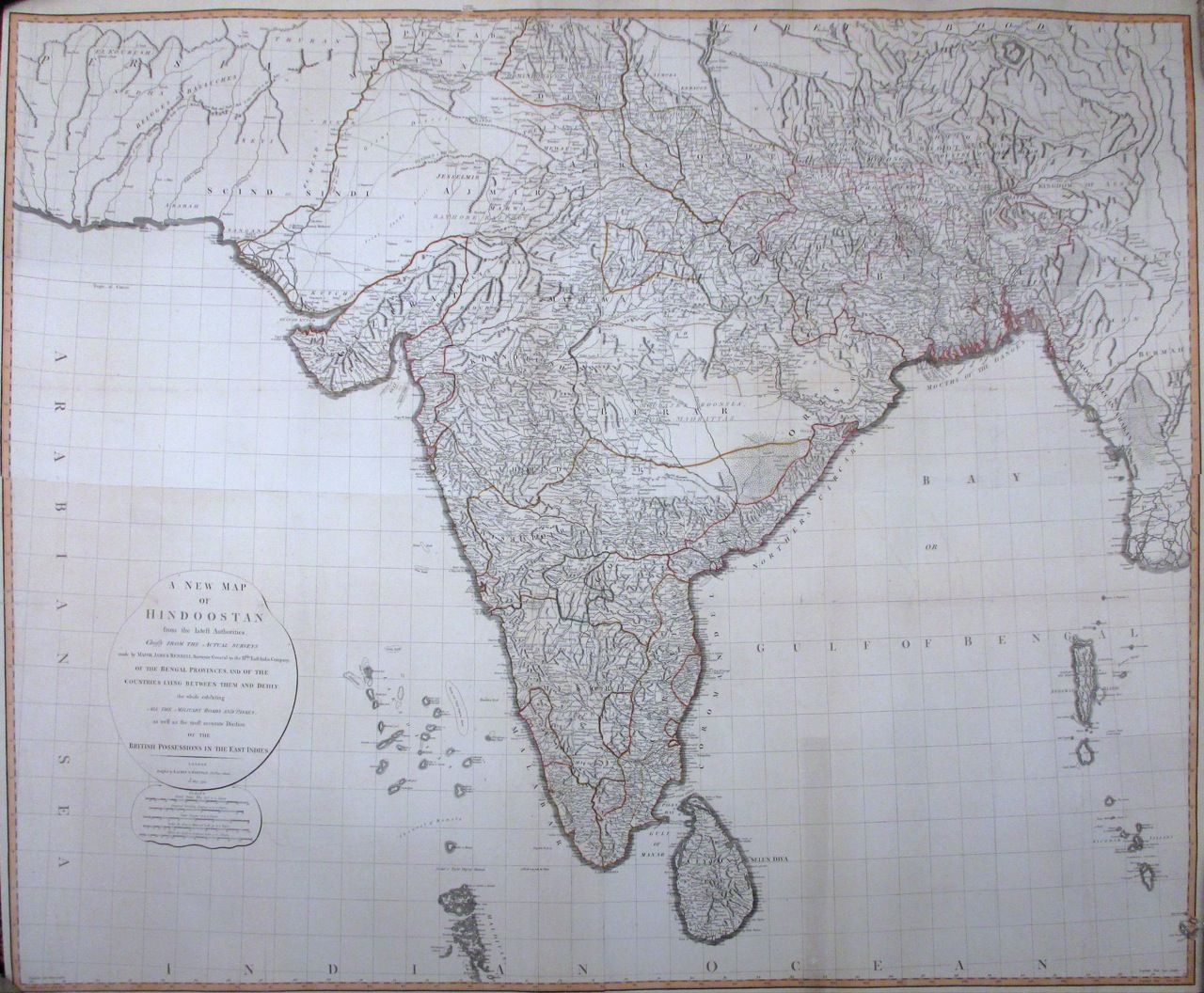
A New Map of Hindoostan from the latest authorities, Chiefly from the actual surveys made by Major James Rennell
by LAURIE & WHITTLE
- Used
- Condition
- See description
- Seller
-
New York, New York, United States
Payment Methods Accepted
About This Item
London: Laurie and Whittle, 1795. unbound. Map, in two sheets, lined and joined. Copper plate engraving with original outline hand color. Overall dimensions are 48.25 x 58.5 inches.<br/><br/> This large-scale wall map of India depicts the country in intricate detail. Mountains, rivers, forests, roads, towns are noted based on the 'Father of Indian Geography"--James Rennell's surveys. Robert Laurie (c. 1755 - 1836) and James Whittle (1757-1818) were London-based map and atlas publishers active in the late 18th and early 19th century. Their firm combined Laurie's engraving skills with Whittle's social contacts and print sales experience. Together, they published numerous maps and atlases, often enlisting prominent cartographers such as Kitchin, Faden, Jefferys and others to update and modify their plates. This large map is an impressive example of their work.<br/><br/>
Reviews
(Log in or Create an Account first!)
Details
- Bookseller
- Argosy Book Store
 (US)
(US)
- Bookseller's Inventory #
- 261952
- Title
- A New Map of Hindoostan from the latest authorities, Chiefly from the actual surveys made by Major James Rennell
- Author
- LAURIE & WHITTLE
- Format/Binding
- Unbound
- Book Condition
- Used
- Quantity Available
- 1
- Publisher
- Laurie and Whittle
- Place of Publication
- London
- Date Published
- 1795
- Keywords
- Wall map, empires, imperialism, colonial, british isles
Terms of Sale
Argosy Book Store
All items are offered net, subject to prior sale. Returns accepted within 7 days of receipt--please contact us first. Payment by Visa , Mastercard & American Express. Appropriate sales tax will be added for all N.Y. State residents
About the Seller
Argosy Book Store
Biblio member since 2004
New York, New York
About Argosy Book Store
We are a large retail store, with 6 floors of out-of-print and rare books, (including, Americana, modern first editions, history of medicine and science), antique maps and prints, autograph manuscripts, letters & signatures.
Glossary
Some terminology that may be used in this description includes:
This Book’s Categories

Is your family bible valuable?
While they may have sentimental value, bibles passed down through the family are not often worth a lot of money. Learn more...

Collecting the Harlem Renaissance
One of the most influential - and certainly most iconic - cultural revolutions in American history, the Harlem Renaissance offers a compelling repertoire for both seasoned and novice book collectors. We’ve put together a beautiful gallery of high points to help start your collection here.