Click for full-size.
Payment Methods Accepted
About This Item
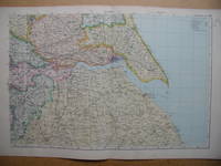
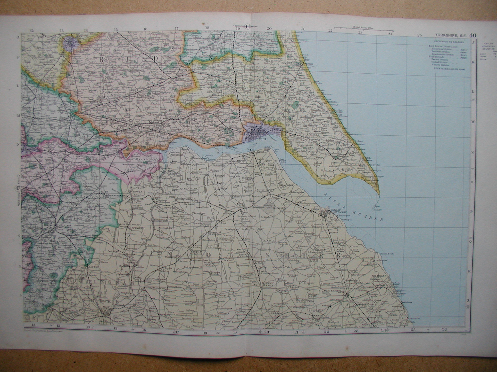
London., 1912. Colour Map From Bacon's Atlas, London. Undated, but 1912. Measures 21 x 13 1/2 inches (including margins). Centre fold. Revised according to the latest Ordnance Survey. A Decorative Early 20th Century map, with good detail & colour, showing Railways, Roads & Canals.. Very Good+.
Reviews
(Log in or Create an Account first!)
Details
- Seller
- N. G. Lawrie Books.
 (GB)
(GB)
- Seller's Inventory #
- 12694
- Title
- Yorkshire, South East.
- Author
- (Map)
- Book Condition
- Used - Very Good+
- Place of Publication
- London.
- Date Published
- 1912
- Keywords
- GREAT BRITAIN COUNTY MAP YORKSHIRE.
- Bookseller catalogs
- British Travel & Topography; Maps;
Terms of Sale
N. G. Lawrie Books.
Returns if not as described; please e mail first to notify us.
About the Seller
N. G. Lawrie Books.
Biblio member since 2006
Sheffield
About N. G. Lawrie Books.
Mail Order only. Appointments can be made to view stock at anytime.
Glossary
Some terminology that may be used in this description includes:
- Good+
- A term used to denote a condition a slight grade better than Good.
This Book’s Categories

What is a first edition?
Even if you’re only peripherally aware of book collecting, you’ve doubtless heard the term, first edition, bandied about but you may still be in the dark as to what makes them such a big deal. Learn about first editions and why collectors value them here.

Collecting Signed Books
Read through our tips, hints, and information on collecting books signed or inscribed by the author or illustrator.