
Click for full-size.
Long Island Rail Road Map
by Metropolitan Transit Authority (MTA)
- Used
- Condition
- See description
- Seller
-
New York, New York, United States
Payment Methods Accepted
About This Item
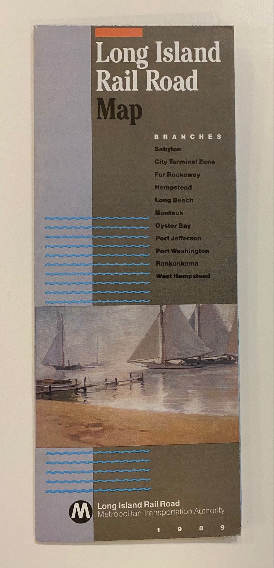
New York: Metropolitan Transit Authority, 1989. Pocket map. Color lithograph. Sheet measures 35 1/4 x 10 1/8", folded measures 8 3/4" x 3 1/2"<br/> <br/> This LIRR map issued in 1989 features a colorful map of New York City and Long Island. Railroad branches and stations are prominently labeled, and major roads and highways are also shown. Airports and parks are distinctively colored. Verso includes index of LIRR stations and travel connections; subway connections with three inset maps showing subway lines around Penn Station, Jamaica Station, Flushing, Woodside, and Hunters Point connections, and Flatbush Avenue Terminal; and places of interest with their respective locations and phone numbers.<br/> <br/>
Reviews
(Log in or Create an Account first!)
Details
- Bookseller
- Argosy Book Store
 (US)
(US)
- Bookseller's Inventory #
- 308619
- Title
- Long Island Rail Road Map
- Author
- Metropolitan Transit Authority (MTA)
- Book Condition
- Used
- Quantity Available
- 1
- Publisher
- Metropolitan Transit Authority
- Place of Publication
- New York
- Date Published
- 1989
Terms of Sale
Argosy Book Store
All items are offered net, subject to prior sale. Returns accepted within 7 days of receipt--please contact us first. Payment by Visa , Mastercard & American Express. Appropriate sales tax will be added for all N.Y. State residents
About the Seller
Argosy Book Store
Biblio member since 2004
New York, New York
About Argosy Book Store
We are a large retail store, with 6 floors of out-of-print and rare books, (including, Americana, modern first editions, history of medicine and science), antique maps and prints, autograph manuscripts, letters & signatures.
Glossary
Some terminology that may be used in this description includes:
- Verso
- The page bound on the left side of a book, opposite to the recto page.
This Book’s Categories

The Great Formosa Hoax
George Psalmanazar played a grand prank in 1703, pretending to be a resident of the island of Formosa. His book took London by storm. Learn more...

How to identify a rare book
There are several important points to keep in mind when trying to determine if a book can be considered "rare". Read here to learn more.Learn how to determine if a book is rare